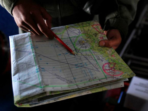
The Malaysian jetliner that disappeared on March 7th is still missing, and various organizations have been offering assistance to find the missing craft, including NASA.
Only two days after the plane disappeared, NASA began examining ways that it, too, could assist searchers trying to find the missing plane or its wreckage. Now, the world’s premiere space agency is announcing some of the ways it might help in the search.
On March 13th, NASA announced that it is mining satellite data and offering other assets to lend a hand. NASA spokesman Allard Beutel told the media, “Activities under way include mining data archives of satellite data acquired earlier and using space-based assets, such as the Earth-Observing-1 (EO-1) satellite and the ISERV camera on the International Space Station, to acquire new images of possible crash sites.”
Beutel said that NASA’s capabilities might identify objects 98 feet in length or larger.
NASA is also sending relevant data to the U.S. Geological Survey’s Earth Resources Observations and Science Hazard Data Distribution System, which serves as home for the International Charter on Space and Major Disasters.
The charter is an international agreement intended to gather and analyze data from space-based assets to help during times of man-made or natural disasters.
The ISERV camera was launched into space in July of 2012 to investigate any area of the globe affected by disasters. The camera system is also used to study environmental effects.
Another group attempting to help in the search for Flight MH370 is the Colorado-based satellite imaging company DigitalGlobe. The company activated its internet platform called Tomnod and is making it available to everyone with an internet-connected computer to help search satellite images.
DigitalGlobe is hoping that a crowd-sourced effort will help find the missing plane and is asking for anyone who can donate time to scan satellite images of the ocean’s surface for any possible evidence of wreckage.
Those interested can go to tomnod.com to find out how to join the search.
Information on the disappearance of the flight is varied and constantly shifting, but as of March 14th, investigators are saying that the plane altered its path more than once, and its altitude varied widely. The plane seems to have climbed to 45,000 feet above the approved altitude for a plane of its type before turning sharply west.

COMMENTS
Please let us know if you're having issues with commenting.