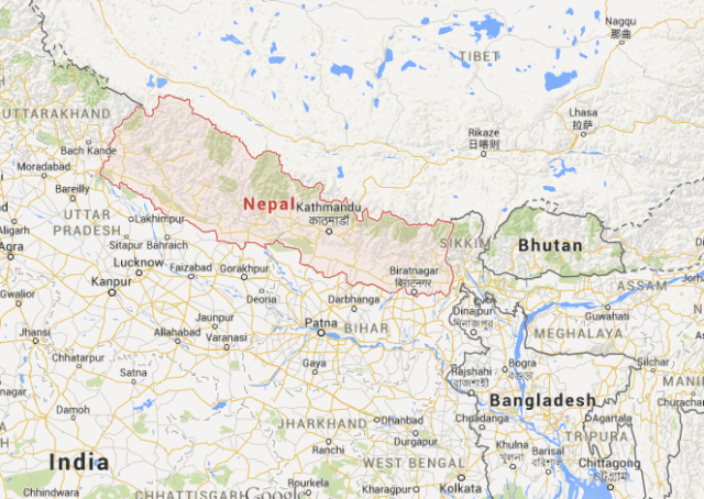
An earthquake measuring 7.8 on the Richter scale has hit central Nepal with hundreds feared dead and many more stranded under collapsed buildings.
The tremors were felt in neighbouring countries including Pakistan and India with a Nepalese minister saying there had been “massive damage” at the epicentre, the BBC reports.
The official death count is 876 but this is expected to rise as the rescue mission picks up.
Information Minister Minendra Rijal called on the international community to help the country deal with the aftermath of the earthquake, saying the country needed “support from the various international agencies which are more knowledgeable and equipped to handle the kind of emergency we face now.”
Several buildings, including the landmark Dharahara tower, were reduced to rubble in the capital Kathmandu and people came out into the street as communications were disrupted.
The Indian Prime Minister tweeted: “We are in the process of finding more information and are working to reach out to those affected, both at home and in Nepal.”

The earthquake was caused by the collision of the Indian and Eurasia tectonic plates in what is one of the most seismically hazardous regions on earth.
The foothills of the Sulaiman Range and the Himalaya Front in the north of are the visible surface markings of these plate collisions which are converging at a rate of 40-50 mm per year.
The surface expression of the plate boundary is marked by the foothills of the north-south trending Sulaiman Range in the west, the Indo-Burmese Arc in the east and the east-west trending Himalaya Front in the north of India.
In 2011 a deadly earthquake killed at least five people in Nepal and in 1934 the capital Kathmandu was all but destroyed in another incident.
Aftershocks could still be felt across the region after the initial quake.
COMMENTS
Please let us know if you're having issues with commenting.