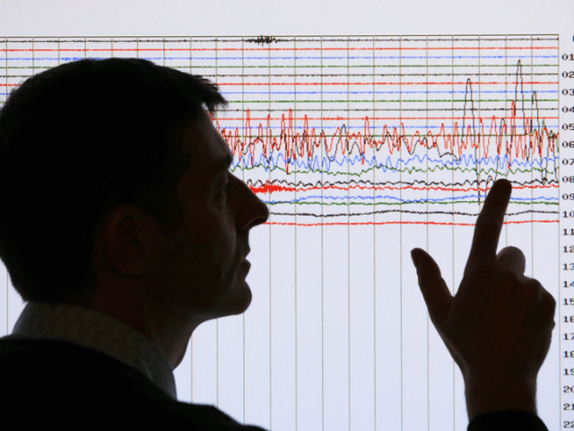
The U.S. Geological Survey put Southern California cities on an unusually high alert for a potential “big earthquake,” as an “earthquake storm” broke out near the Salton Sea late in the week.
Located on the 800-mile-long San Andreas, the Southern tip of the Salton Sea suffered 142 quakes that ranged in strength from a magnitude of 1.4 to 4.3 on the Richter Scale since September 26, according to the U.S. Geological Survey.
Cal Tech scientists estimate that due to the concentration of the tremblors, Southern California has a risk of between 0.03 and 1 percent that the area will suffer a 7.0 magnitude quake in the near future. That may not sound like such a high probability, but it was a 7.8 magnitude quake that destroyed the Bay Area in 1906.
The turn-of-the-century Great San Francisco Earthquake and resulting fires caused an estimated 3,000 deaths and $524 million in property loss. Buildings and structures were damaged in all parts of the City and County of San Francisco. In the downtown business district, which was built on ground made by filling in the cove of Yerba Buena, pavements were buckled, arched, and fissured; brick and frame houses were extensively or destroyed; sewers and water mains were broken; and gas pipelines caught on fire and caused a conflagration.
Ground movements between three feet up and down, plus 15 feet sideways, were common in the City. The catastrophic quake caused similar damage for almost 100 miles, from lightly populated Mendocino County to Santa Clara County.
Kelly Huston, the deputy director of crisis communications for the Governor’s Office of Emergency Services, said the heavy intensity and strategic location of the swarm at the end of the San Andreas Fault caused the Governor’s Office of Emergency Services to issue the extreme warning, which will last through October 4.
The southernmost tip of the San Andreas Fault has been building up pressure since Cascadia Subduction Zone Earthquake of 1700 that was the largest known to have occurred in the “lower 48” United States. It rocked from California to Southern British Columbia. It also set off a tsunami that not only struck the Pacific coast, but also crossed the Pacific Ocean to Japan, where it damaged coastal villages. Written records of the damage in Japan pinpoint the earthquake to the evening of January 26, 1700.
Morgan Page, a geophysicist with the U.S.G.S. Earthquake Science Center, told the Daily News that there is a common misconception about earthquakes that smaller ones relieve pressure on a fault and reduce the chances of a major earthquake happening. He warned that, “Little quakes can actually trigger more powerful ones” and “there is significant stress stored on the southern end” of the San Andreas Fault.
Breitbart News reported in 2014 that after two decades of mild and intermittent earthquake activity, California suffered four very serious high magnitude quakes in 2014 that included the 6.8 magnitude Cape Mendocino quake on March 9; the South Napa magnitude 6.0 on August 23; the 5.1 magnitude La Habra quake on March 28; and the 4.4 magnitude Westwood quake on March 17.
The South Napa quake that hit at 3:20 a.m. was especially concerning because it featured an “Earthquake Storm” with 60 smaller aftershocks ranging in size from 0.6 to 3.6 on the Richter scale.
Geophysicist John Dvorak, author of the book “Is California Overdue for a Big Earthquake?”, warned in a Christian Science Monitor interview that a series of increasingly higher intensity earthquakes could now be building over an extended period in California. He cautioned, “A lengthy vacation from earthquakes certainly sounds nice,” but a quake break can just be the calm before the earthquake storm.

COMMENTS
Please let us know if you're having issues with commenting.