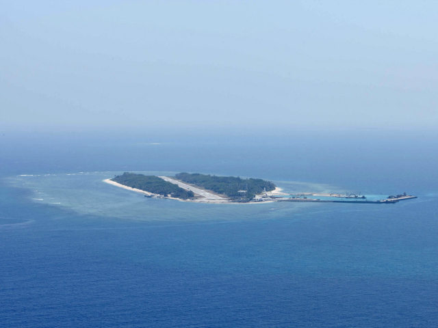
Photos taken from Google Maps appear to show military structures, including anti-aircraft fortifications, appearing on the Taiwan-controlled island of Taiping, in the disputed Spratly Islands chain of the South China Sea.
“The buildings appear to be about three to four stories tall and face the island’s western coast, and are five to six times bigger than the existing 40-mm anti-aircraft weapons systems on the island,” reports UPI, citing Taiwanese media reports that the structures look like anti-aircraft gun blockhouse towers. Alternatively, there is speculation the new buildings could be part of an early-warning system.
“Qian Qichen, a lawmaker with Taiwan’s Nationalist Party, had confirmed the existence of the buildings after visiting Taiping in July, but did not elaborate on their use,” UPI adds.
According to the UK Guardian, these satellite photos were uploaded to Google Earth and Google Maps during an update in July. The Director-General of Taiwan’s coast guard, Lee Chung-wei, informed the parliament that “Google had been notified about concealing the structures.”
“It is inconvenient for us to reveal any military facilities we are installing on Taiping island, and what their purposes are, as they are all considered secret,” said Taiwan’s Defense Minister, Feng Shih-kuan.
Meanwhile, China and Russia have just concluded their largest ever joint military exercise in the South China Sea, which included “island seizing missions,” according to Chinese navy spokespeople.

COMMENTS
Please let us know if you're having issues with commenting.