
Tours (France) (AFP) – Six maps from the American War of Independence, which helped convince George Washington to make a crucial change in strategy, go up for auction in a French chateau next month.
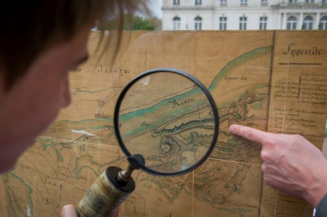
Descendants of the Count of Rochambeau, who led the French expeditionary force to support the Americans in the war against the English, discovered the meticulously drawn maps in an attic. They include detailed renderings of New York, Boston Harbour, Chesapeake Bay and Portsmouth.
The maps will go up for auction on June 13 in the spectacular surroundings of the Chateau d’Artigny at Montbazon, near the central town of Tours.
“With these maps you can smell the gunpowder,” said auctioneer Aymeric Rouillac.
“These are the maps that allowed Rochambeau to convince George Washington of the superiority of the English positions…,” he explained. The maps showed the fortifications and the positions of the English forces.
Washington abandoned plans to attack New York and instead moved on Virginia, where the French fleet gave the independence forces a strategic advantage, Rouillac added.
In 1781, Washington’s soldiers, with the support of the French force, won a series of key battles, including the ones at Chesapeake and Yorktown.
The maps come with a certificate from the French authorities clearing them to be taken abroad. The starting price for each of them is 10,000 euros ($11,200).
Among the other items from that period up for auction will be a sword thought to have belonged to General La Fayette, the French aristocrat who fought on the American side in the war.
COMMENTS
Please let us know if you're having issues with commenting.