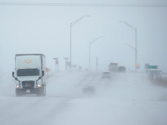
A potentially record-breaking snowstorm is headed for the Northeast this weekend, and it could bring historic snowfall totals to the inner Northeast and New England.
A storm system barreling into the Northeast will clash with winter cold associated with the polar vortex on Friday, bringing the potential for heavy, wet snow across the inner Northeast. At the same time, the rest of the I-95 corridor could see heavy rain.
Snowfall totals could range from a dusting to more than a foot in isolated areas of the extreme north of New England. Either way, a snowstorm in May could shatter May snowfall records.
Cities that could see snow include Binghamton, Syracuse, Rochester, and Albany in New York; Burlington, Vermont; and Scranton, Pennsylvania.
Temperatures would become more characteristic of March than of May, and regions of the western U.S. would be going through a heat wave while the eastern U.S. would be going through a cold snap.
Forty-five million people in the upper Midwest and the Appalachians are under a freeze watch, which is likely to expand.
The cold air is likely to expand into the Deep South, and by Saturday morning, 75 million people will wake up to temperatures that are colder than it was on Christmas Day in 2019. Only a quarter of the country was covered in snow around that time.
Cities that could see record-low temperatures over the weekend include New York City and Buffalo, New York; Baltimore; Detroit; Pittsburgh; Nashville, and Memphis, Tennessee; Charlotte, North Carolina; Shreveport, Louisiana; Little Rock, Arkansas; and Montgomery, Alabama.
For some perspective, the last time New York City had temperatures down in the 30s in May was in 1978.


COMMENTS
Please let us know if you're having issues with commenting.