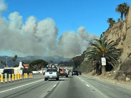
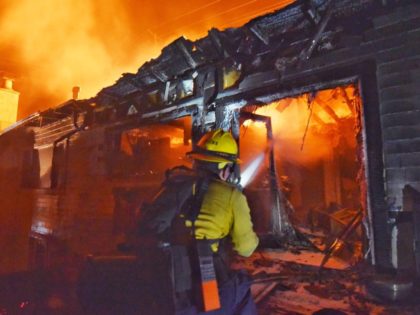
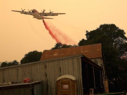
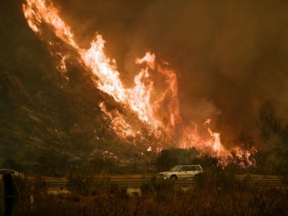
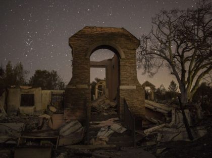
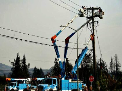
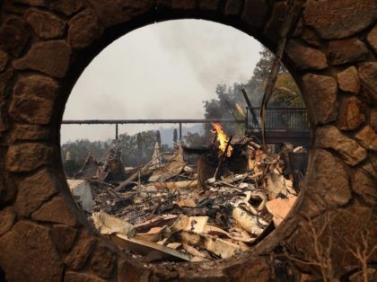
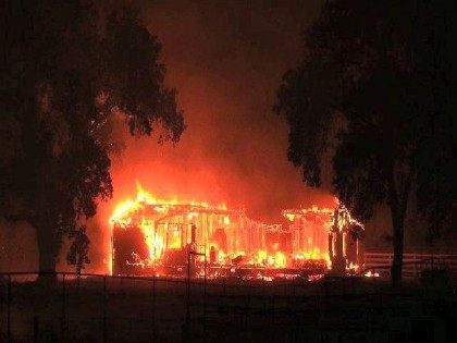
Interactive 3D Map Provides Real-Time View of Palisades Wildfire and Evacuation Zones
CalFire, the California Department of Forestry & Fire Prevention, has released a 3D interactive map that offers a detailed look at the multiple fires raging around Los Angeles. The map shows the perimeter of the Palisades fire and evacuation zones for multiple other fires in Los Angeles.