

After a nor’easter that killed at least 13 people and brought up to two feet of snow on the East Coast Thursday evening and Friday morning, the Midwest is bracing for some potentially dangerous weather of its own. The region is expecting extreme temperatures until Tuesday in what is being described as the coldest winter outbreak since the 1990s.
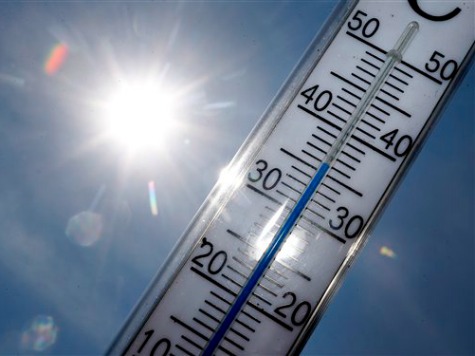
From the Midwest to the Eastern Seaboard, experts are warning of hypothermia and frostbite. According to the Centers for Disease Control, Americans face a greater risk of dying from extremely cold temperatures than from extreme heat.
Some flooding was reported in Massachusetts and New Hampshire on Friday, and according to the National Weather Service, the “temperature in Boston at 10:30 tonight was 4 degrees, with a wind chill of 13 below.” Residents of Maine, where temperatures reached around 40 below zero with the wind chill, reportedly had trouble getting their heating oil delivered in conditions that were described as a “nightmare.” Temperatures hovered around–or below–zero in other cities across the East Coast, such as New York City and Philadelphia.
Massachusetts Gov. Deval Patrick (D) said the temperature was “so extreme that it’s a hazard of a different kind.” That hazard will be even more dangerous for much of the Midwest starting Saturday evening.
In what is the coldest winter outbreak since the 1990s, severe temperatures will threaten residents across the Midwest until Tuesday. According to the Weather Channel, “dangerous wind chills in the -50s and -60s are possible from northern Iowa and Minnesota into the Dakotas and eastern Montana.” Sunday’s playoff game in Green Bay may be the coldest game in NFL history.
Temperatures may be at least 30 degrees below zero “over much of North Dakota, Minnesota, even northeast Iowa and western Wisconsin.” Public schools have already been canceled on Monday in the state of Minnesota.
Chicago’s temperature on Monday may “threaten the all-time record coldest daily high temperature in the Windy City, -11 degrees on Jan. 18, 1994 and Christmas Eve 1983.”
Factoring in wind chills, temperatures in some areas from Ohio to North Dakota “will be in -50s or even -60s, where any exposed skin would suffer frostbite in 5-10 minutes.”
Even in the Upper Mississippi Valley and the southern Appalachians, lows on Tuesday morning will be below zero. Tuesday’s highs in Detroit and Cleveland may also threaten the all-time records. The Northeast will not be out of the woods until after Tuesday, either. According to the Weather Channel, “single-digit highs are expected over much of the interior Northeast, and teens will anchor over the I-95 corridor, including Boston, New York, Philly, and, perhaps, Washington, D.C.”
COMMENTS
Please let us know if you're having issues with commenting.