
Declassified photos from U2 spy planes flown by the U.S. over Europe, the Middle East, and Central Eastern Asia during the Cold War have reportedly revealed historical information now used by archaeologists to discover hidden archaeological sites.
Gizmodo reports that new research published in March in the scientific journal Advances in Archaeological Practice has revealed that declassified photos from U2 spy planes have been used in archaeological research for the first time. Emily Hammer of the University of Pennsylvania and Jason Ur of Harvard University utilized historical images from the U2 spy planes to identify prehistoric hunting traps, old marsh villages and ancient irrigation canals.
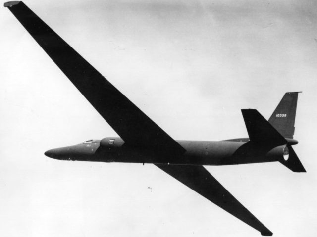
U2 spy planes captured thousands of images during the 1950s and 1960s flying 70,000 feet above the ground during a mission code-named CHESS which was declassified by the United States in 1997. The images were used by a Chinese researcher to view historical aerial imagery of his hometown, inspired by this, Hammer and Ur began to analyze the photos themselves.
The two researchers had to systematically build an index of the U2 photos, selecting films rolls from the National Archives’ storage center in Kansas which were then brought to the aerial film section in Maryland. The film rolls contained hundreds of feet of film which were then unspooled and analyzed over a light table, and 100-millimeter macro lenses were used to photograph the negatives all of which were then stitched together and geo-referenced using software.
Hammer said in a statement: “As you turn the spool of a film roll following the path of the U2 plane, you may not know exactly what you’ll see in unfamiliar places, so there’s often a sense of exploration and discovery. Other times, the pilots were flying over regions I knew by heart from travel and study, and I would almost hold my breath, hoping that the plane had veered just a little to the right or left.” She added: “The photos provide a fascinating look at the Middle East several decades ago, showing, for example, historical Aleppo long before the massive destruction wrought in the ongoing civil war.”
In the study, the researchers wrote: “We were able to map many features that have been destroyed since 1960 and are no longer visible in modern imagery. This is particularly true for villages, corrals, and wheel structures, which are smaller than desert kites and more vulnerable to total erasure by modern agriculture and development.”
The work done by Hammer and Ur will now be published online and made available to other researchers who can analyze the same frames and perform their own archaeology studies.
Lucas Nolan is a reporter for Breitbart News covering issues of free speech and online censorship. Follow him on Twitter @LucasNolan or email him at lnolan@breitbart.com
COMMENTS
Please let us know if you're having issues with commenting.