Otto and Elise Hampel were German citizens living in Berlin, Germany, during World War II. They were never Nazi supporters. But the loss of Elise’s brother, killed in action in 1940, saw their resentment of Hitler transition into action against his regime. The Hampels began a stealth, anti-Nazi protest campaign.
The couple wrote over 200 postcards, denouncing Hitler and encouraging resistance against the Third Reich. The unaddressed postcards were left in various locations, such as mailboxes, stairwells, etc., not too far from their own apartment.
Those finding the postcards immediately turned them over to the Gestapo. This initiated a two-year investigation, with investigators maintaining copious notes, in which the Hampels eventually were identified as authors of the postcards. They were arrested in 1942 and charged with “preparation for high treason.” Convicted in April 1943, the couple was executed.
The investigative technique used to zero in on the Hampels is known as “geographic profiling” or simply “geoprofiling.”
As The Telegraph’s Science editor Sarah Knapton wrote in a May 22ndarticle, “the Gestapo kept detailed records of the hunt, recording the locations of the postcards…” Doing so, “investigators realised that there was a pattern to the distribution – within their neighbourhood but not too close to their home.”
While the Gestapo stumbled upon geoprofiling 75 years ago, it really did not come into focus as a criminal investigative tool until Canadian former police detective Kim Rossmo wrote a doctoral thesis on the concept, publishing a book in 2000.
Rossmo came up with a mathematical equation based on a previously enunciated behavioral theory known as “the least-effort principle.” Rossomo’s premise for applying the principle is that criminals are more likely to commit crimes in areas where they have a personal comfort level—one near but not too close to their own home.
Rossmo originated an algorithm that successfully reduced the geographic search area for suspects by as much as 90%. Such an investigative tool saves time as investigators can prioritize their list of potential suspects.
Using this algorithm and applying it to data from the still unsolved 1888 murders committed by the infamous “Jack the Ripper,” Rossmo and his algorithm co-developer, Steven Le Comber, believe they have now determined where the serial killer lived—Flower and Dean Street in London’s notorious East End.
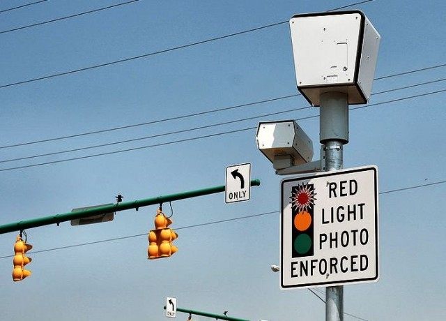
Rossmo’s initiative jump-started the use of Geographic Information Systems (GIS) on an international basis.
Jim Bueermann, chief of police in Redlands, California, noted in a 2002 interview, “GIS has fundamentally altered the way we view crime and contributing factors to crime. It gives investigators an analytical tool that was heretofore unavailable.”
It has evolved to the point investigators use GIS to map an offender’s methods and behaviors—almost enabling crimes to be tracked in real time.
Rossmo’s technique proved timely. One of the most notable cases in which it was used was the 2002 Washington, D.C. sniper case. It helped law enforcement in their manhunt for the snipers by linking 13 separate attacks occurring over several weeks in different states.
Bueerman suggested GIS can have a crime prevention impact as well. Some jurisdictions are using it to map youth suspensions, expulsions and school truancies as they are linked to early academic failure which correlates, in turn, to juvenile crime.
GIS has multiple applications. Le Comber has used it “to locate the origins of the outbreak of disease, such as malaria infested pools in Africa.” He believes geoprofiling locations of as few as five malaria victims would prove sufficient in locating the contamination source.
Knapton reported Rossmo and Le Comber have recently used the concept “to help perfect a computer algorithm which could trace terrorists who disseminate leaflets and propaganda. They believe that terror cells could be located based on the distribution sites of extreme literature.”
Geoprofiling clearly is yet another evolving tool for counter-terrorist experts to use to help locate and identify terrorist activists.
While it is obviously wishful thinking, if only such a technique could be perfected similarly to perform as that used in the 2002 futuristic movie “Minority Report” to identify criminals before they act.
Alas, until then, we will have to use geoprofiling—after the fact—as the next best thing.
Lt. Colonel James G. Zumwalt, USMC (Ret.), is a retired Marine infantry officer who served in the Vietnam war, the U.S. invasion of Panama and the first Gulf war. He is the author of “Bare Feet, Iron Will–Stories from the Other Side of Vietnam’s Battlefields,” “Living the Juche Lie: North Korea’s Kim Dynasty” and “Doomsday: Iran–The Clock is Ticking.” He frequently writes on foreign policy and defense issues.
COMMENTS
Please let us know if you're having issues with commenting.